

Pre - CONSTRUCTIOn
Drone SURVEYS
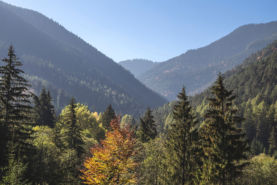
Gain precise aerial data and comprehensive site insights before breaking ground. Our pre-construction drone site surveys deliver accurate topographic maps, elevation models, and site condition assessments that empower project planners and stakeholders to make informed decisions with confidence.


Why choose Us?
Speed
Our LiDAR-equipped drones survey expansive pre-construction sites rapidly, capturing millions of high-density data points in a single flight. We process and deliver fully georeferenced, survey-grade 3D point clouds and topographic models within 36 hours.
Accuracy & Precision
Leveraging RTK GPS and state-of-the-art LiDAR sensors, we achieve vertical accuracies of 3–5 cm and relative precision as fine as 1.5 cm. LiDAR’s laser pulses penetrate vegetation and complex terrain features, producing dense 3D digital elevation models (DEMs), digital surface models (DSMs), and detailed volume calculations critical for precise earthworks, grading plans, and design validation.
Data Quality
Beyond traditional photogrammetry, LiDAR produces highly detailed models unaffected by lighting conditions or canopy cover. Our deliverables include classified point clouds, bare-earth terrain models, high-resolution contours, and CAD-compatible files (DXF, DWG), enabling seamless integration with your BIM (Building Information Modeling) and GIS workflows.

request
A Quote
Survey Report Options
Photogrammetry
Coverage:
Up to 300 acres per survey
Deliverables:
High-resolution orthomosaics
3D textured models
Digital surface models (DSM)
Digital terrain models (DTM)
Contour lines
Volumetric calculations
Best For:
Visual site documentation, topographic mapping on open or lightly vegetated sites, volume measurements, construction site monitoring, and detailed 3D modeling when high-resolution imagery is critical.
LiDAR
Coverage:
Up to 300 acres per survey
Deliverables:
Accurate 3D point clouds
Classified terrain and vegetation models
Bare-earth digital elevation models (DEM)
Detailed volume analysis
Breaklines
CAD-compatible data sets (DWG, DXF).
Best For:
Sites with dense vegetation or complex terrain, early-stage topographic surveys requiring highly accurate elevation data, earthworks planning, volumetrics, and when precise 3D modeling is needed regardless of lighting or vegetation cover.
Multispectral
Coverage:
Up to 300 acres per survey
Deliverables:
Multispectral reflectance maps
Vegetation indices (NDVI, NDRE)
Soil and crop health analysis layers
Geo-referenced multispectral orthomosaics
Best For:
Environmental assessments, vegetation health monitoring, soil condition analysis, erosion control planning, and pre-construction site characterization requiring insights into vegetation vigor and land conditions relevant to project feasibility.